Accurate envelope
Survey data helps combine facades, openings, protruding elements and deformation traces into one measurable basis.
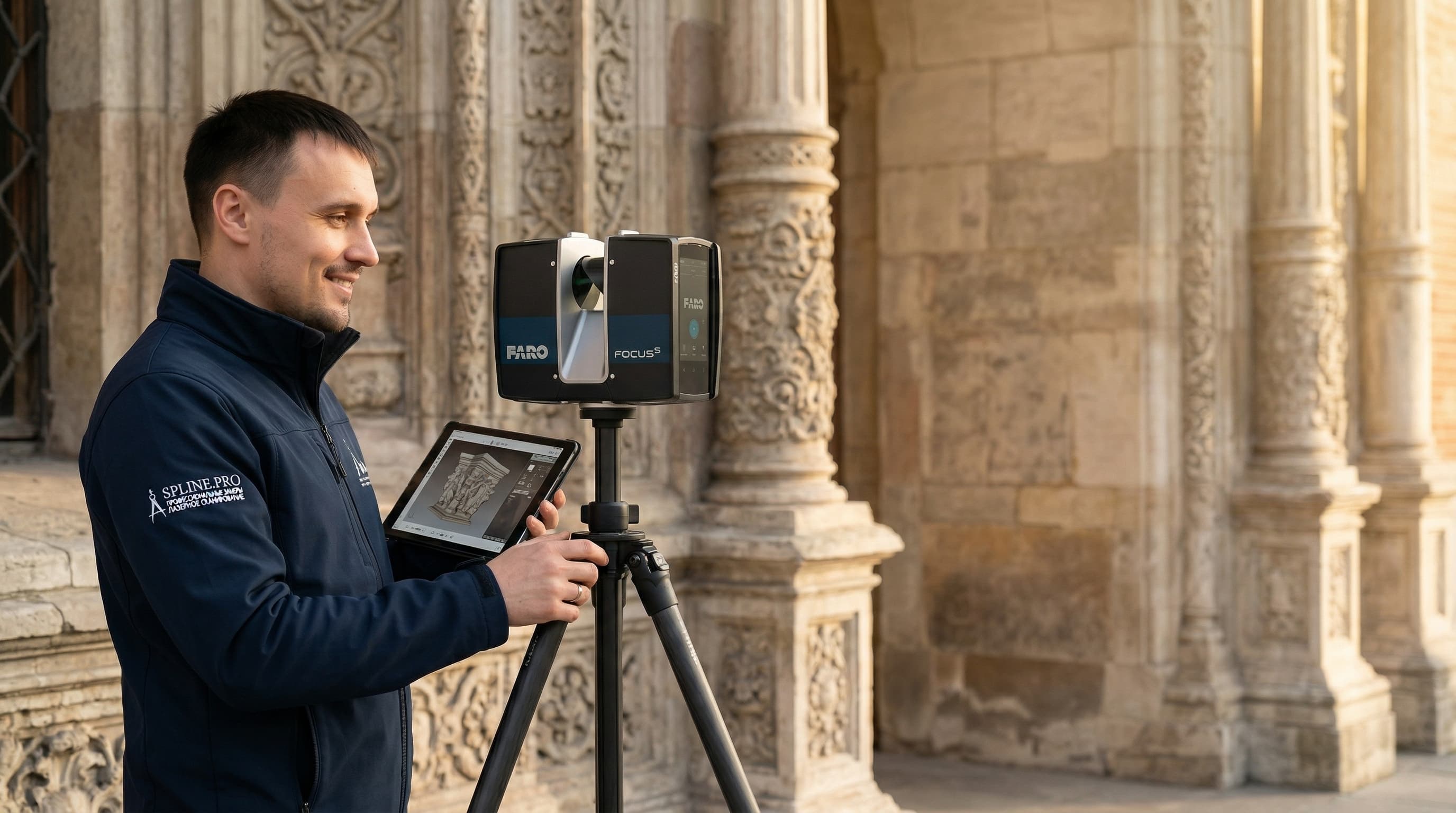
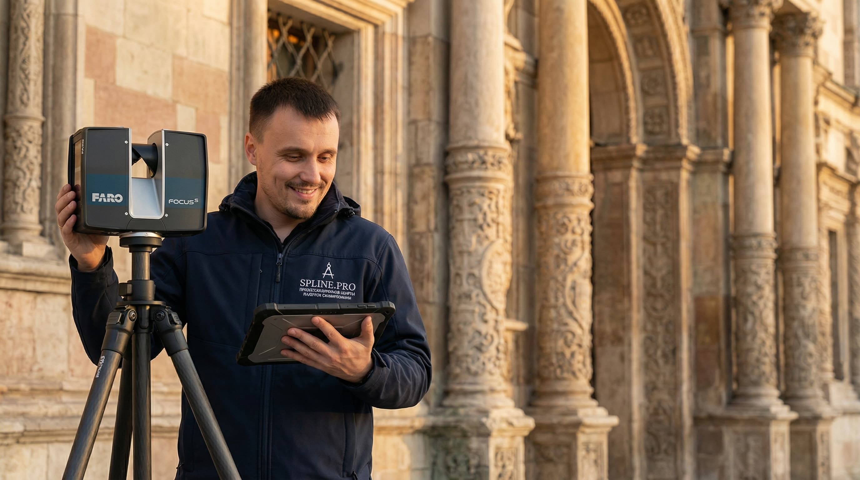
We scan monuments, historic buildings, facades, interiors and decorative elements so the project team receives an accurate basis for restoration, surveys and working documentation.
For heritage assets, access, preservation, complex geometry and clear deliverables matter: point clouds, orthophotos, DWG, BIM, photo capture and panoramas in one coordinate system.
We structure the data so architects, engineers, restoration teams and approval stakeholders can work with the same object context.
We capture planes, curved elements, stucco, masonry, cracks and deformation zones without redrawing them manually on site.
Rooms, staircases, slabs, vaults and technical areas are combined into one point cloud and readable drawings.
Geometry is supplemented with photos, orthophotos and panoramas so the condition can be checked after the site visit.
The page focuses not only on the monument as a whole, but also on working fragments: facades, equipment, access to details and the scale of actual geometry.
Survey data helps combine facades, openings, protruding elements and deformation traces into one measurable basis.

Verticals, decorative elements and hard-to-reach zones are captured separately where manual measurements are risky.
Send the address, object type, task, timing and available materials. We will suggest the work scope and deliverable format for restoration or survey work.